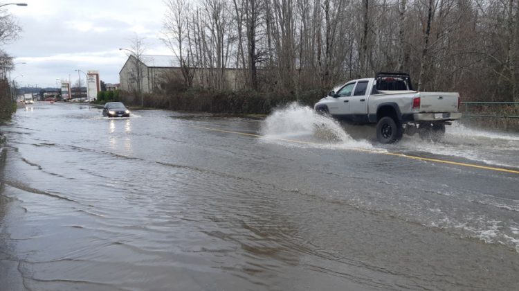
The qathet Regional District is getting provincial grant money for its sea level rise, coastal flood mapping project.
It’s coming from B.C.’s Community Emergency Preparedness Fund.
Over the next year, coastal scientists and engineers will assess the shoreline, to get a better idea of potential coastal impacts caused by climate change on the islands in our region.
As part of the project, flood maps will be made that show the expected impacts of sea level rise, storm surges, and coastal erosion on local island communities.
The maps will identify the anticipated boundaries of potential flood events and the likeliness of occurrence.
“The improved mapping will be of significant value for public safety, infrastructure planning, as well as the protection of environmental and economic assets throughout the region,” the district said.


