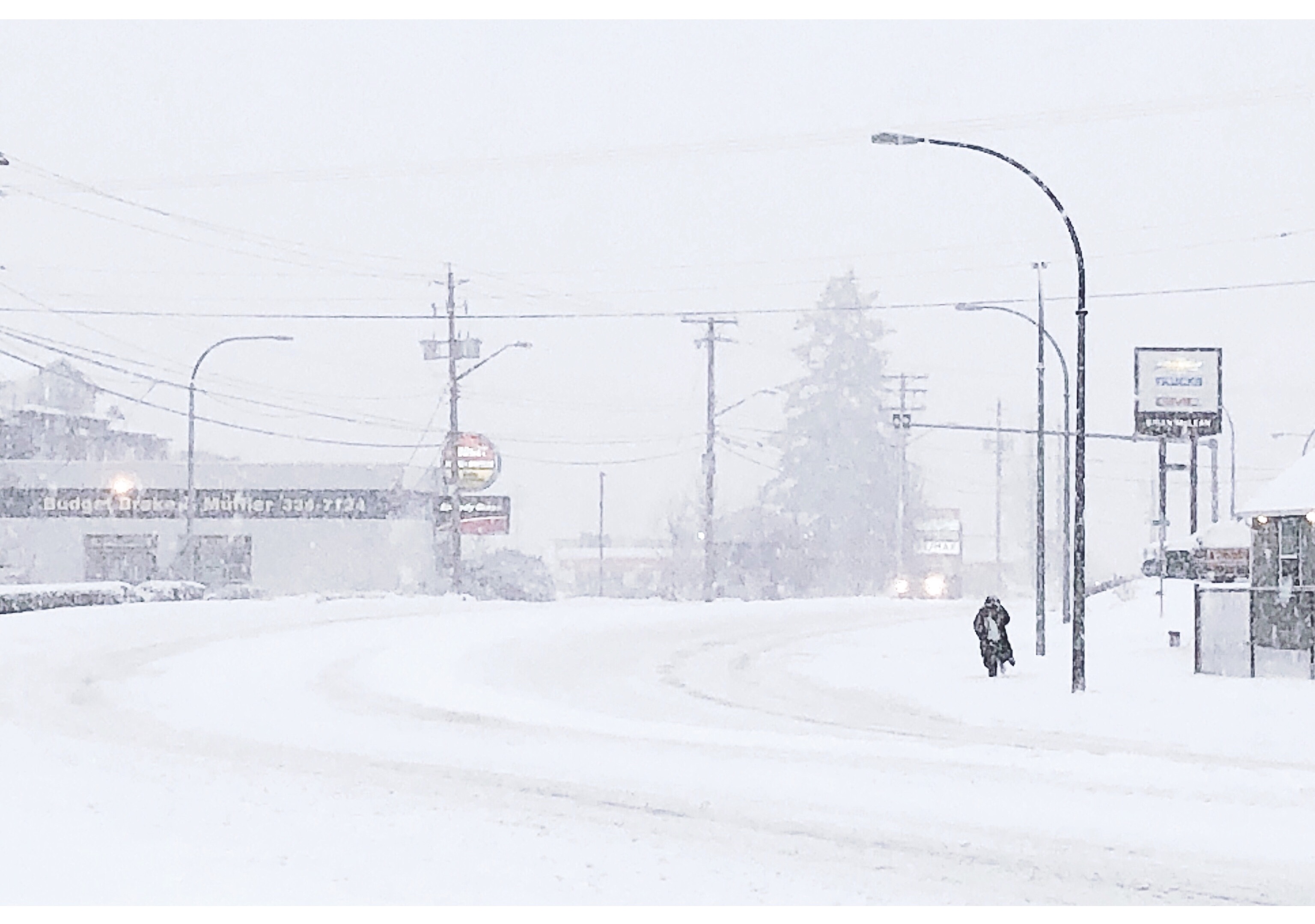
NORTHERN VANCOUVER ISLAND, B.C. – For those who hate cold weather, the best part about February is that it’s over.
And for good reason.
Across northeast Vancouver Island, the average temperatures dipped four degrees below normal during the month, as a polar vortex sat down on the region and wouldn’t leave.
Environment Canada meteorologist Armel Castellan said the mean temperature was 0.5 degrees Celsius in the Comox Valley. (The mean temperature is determined by adding the average highs and lows during the month, and then dividing them by two).
“Normally it’s 4.3 (degrees) so you can see that it’s almost four degrees colder than normal which actually ranked it fifth coldest on record, and those go back to 1915,” Castellan said.
It was the same story for Campbell River, Powell River, and Port Hardy.
In Campbell River, the mean temperature was minus-1.8 degrees, compared to the average of 3.2 degrees.
“Again, we’re talking about five degrees colder than normal there,” Castellan said.
Powell River’s mean temperature was measured at minus-0.8 degrees at the airport, compared to the average of 3.9 degrees.
Further north in Port Hardy, the mean temperature was 0.2 degrees, a full 4.2 degrees colder than average.
But that community was spared much of the snow, seeing about five centimetres of the white stuff throughout the month.
“What’s also interesting about Port Hardy is they normally see 8.8 (centimetres of snow in February), whereas all these other locations surpassed the average snow compared to normal,” Castellan said.
So what was the reason behind the cold weather?
One theory is climate change.
“The lack of sea ice essentially creates a differential that is not as strong between the pole and the equator during any time of the year,” Castellan explained.
“What we saw for February and now March is a very stable pattern in the jet stream that is allowing for this high pressure leak of cold air, so it’s a retrograded polar vortex. It’s allowing for this cold air to seep out south and east and west on the continental shelf and allowing it to really dominate our weather.”
Castellan said the polar vortex manifested itself in a way that the continent of North America had cold air spill further south than you would normally see it.
He added that in any given winter, cold snaps would last about three or four days before giving way for warmer, wetter conditions.
This wasn’t the case in February.
“To see it consistently from the second of February when it really got to the coast, all the way through to the next couple weeks is fairly odd,” Castellan said. “There was a time in February where we were closer to 10 degrees below normal. Now we’re a couple (to) three degrees below normal, so we’ve caught back up towards normal status, but we’re not there yet. We still have most of the month to go before we actually hit those kind of double digit high temperatures and positive low temperatures. Right now we’re still dipping below zero.”


