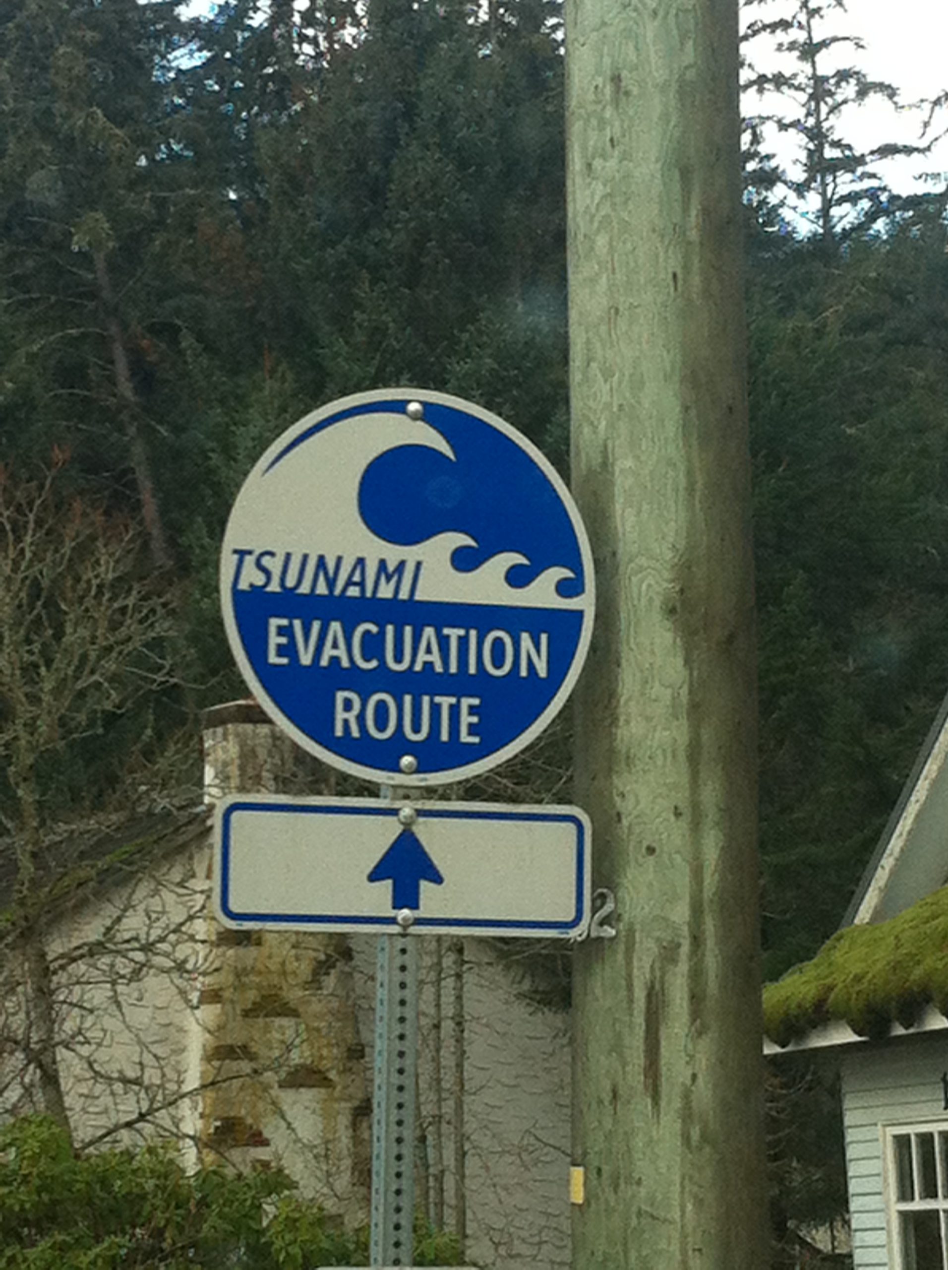
The Strathcona Regional District (SRD) is looking at ways to prepare for tsunamis.
It is working with the Ka:’yu:’k’t’h’/Che:k:tles7et’h’ First Nations and Nuchatlaht First Nation to undergo high-resolution tsunami modelling for the northwest coast of Vancouver Island.
The modelling will be based from Yuquot / Muchalaht Inlet to Cape Scott Provincial Park.
The contract for the project was awarded earlier this week at the Regional Board meeting to Northwest Hydraulics Consultants in partnership with Ocean Networks Canada.
Currently, there are no high-resolution, data-based models for many sites on the northwest coast of Vancouver Island that are considered highly vulnerable to the effects of tsunami events.
SRD Board Chair Michele Babchuk says from an emergency planning and impact assessment perspective, the lack of relevant data limits the ability of public and private entities to adequately plan and prepare for such events.
“The SRD is pleased to receive the 2020 Flood Risk Assessment, Flood Mapping and Flood Mitigation Planning funding stream under the Community Emergency Preparedness Fund” says SRD Board Chair Michele Babchuk.
“High-resolution modelling is essential for the accurate understanding of tsunami risk as well as community planning in our Region”.
The Tsunami Modelling project involves five First Nations, four municipalities and two Regional Districts and is scheduled to be completed by Spring 2021.
Upon completion, the SRD will be provided with a digital GIS (Geographic Information System) layer that will be available to the public.
To learn more about Strathcona Regional District’s Emergency Management please visit www.srd.ca/emergency-management


